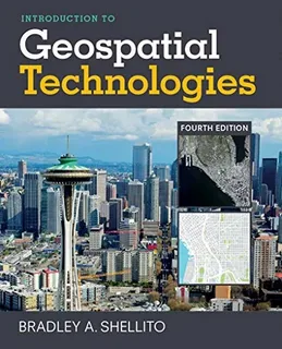
The field of geospatial technology has witnessed a revolutionary transformation over the past few decades. At the heart of this evolution lies satellite imagery, which has dramatically enhanced our ability to observe, analyze, and understand the Earth from space. This article explores the significant milestones in the development of satellite imagery and how it has propelled the advancement of geospatial technology.
The Birth of Satellite Imagery
The journey of satellite imagery began in the mid-20th century with the launch of the first Earth-observing satellites. These early satellites captured rudimentary images of the planet’s surface, enabling scientists and governments to gather unprecedented data about weather patterns, land use, and natural disasters. The ability to obtain such imagery from space marked the beginning of a new era in geospatial analysis.
Advances in Imaging Technology
As technology progressed, satellite imagery evolved from grainy black-and-white pictures to highly detailed, multi-spectral images capable of capturing data across various wavelengths. This advancement allowed for more precise mapping and environmental monitoring. The integration of sophisticated sensors and higher resolution cameras has made satellite imagery indispensable for fields such as agriculture, urban planning, disaster management, and climate science.
The Role of Geospatial Technology
Satellite imagery has been a cornerstone in the evolution of geospatial technology. The ability to combine satellite data with Geographic Information Systems (GIS), Global Positioning Systems (GPS), and remote sensing technologies has created a powerful toolkit for spatial analysis. Geospatial technology now enables real-time monitoring, predictive modeling, and complex spatial data integration, transforming industries and research fields worldwide.
Future Trends in Satellite Imagery and Geospatial Technology
Looking ahead, the evolution of geospatial technology continues to accelerate with innovations such as nanosatellites, artificial intelligence, and machine learning algorithms. These technologies enhance the processing and interpretation of satellite imagery, making geospatial data more accessible and actionable than ever before. As satellite imagery becomes more precise and affordable, its applications are expected to expand further, offering solutions to global challenges like climate change, resource management, and urbanization.
Satellite imagery and the evolution of geospatial technology have reshaped how we view and interact with our planet, turning raw data into meaningful insights that drive smarter decisions and sustainable development.

